Volta Region
Lake Volta
Lake Volta lies along the Greenwich Meridian, and just six degrees of latitude north of the Equator.
Read more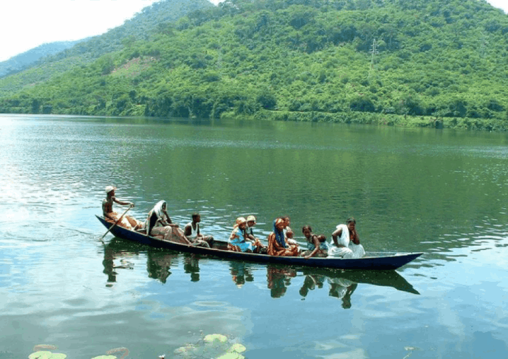
Lake Volta lies along the Greenwich Meridian, and just six degrees of latitude north of the Equator.
Read more
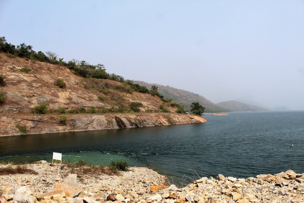
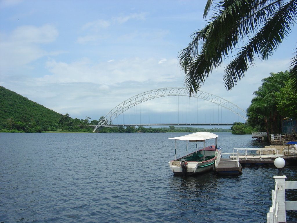
Lake Volta lies along the Greenwich Meridian, and just six degrees of latitude north of the Equator. The lake’s northernmost point is close to the town of Yapei, and its southernmost extreme is at the Akosombo Dam, 520 kilometres (320 mi) downstream from Yapei. Akosombo Dam holds back both the White Volta River and the Black Volta River, which formerly converged, where the middle of the reservoir now lies, to form the single Volta River. The present Volta River flows from the outlets of the dam’s powerhouse and spillways to the Atlantic Ocean in southmost Ghana.
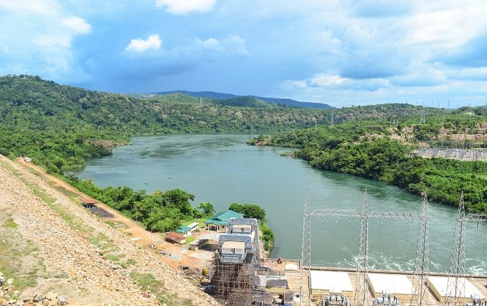
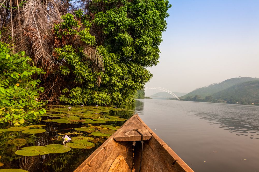
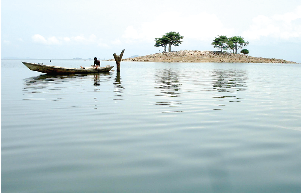
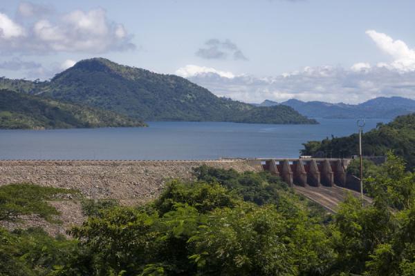
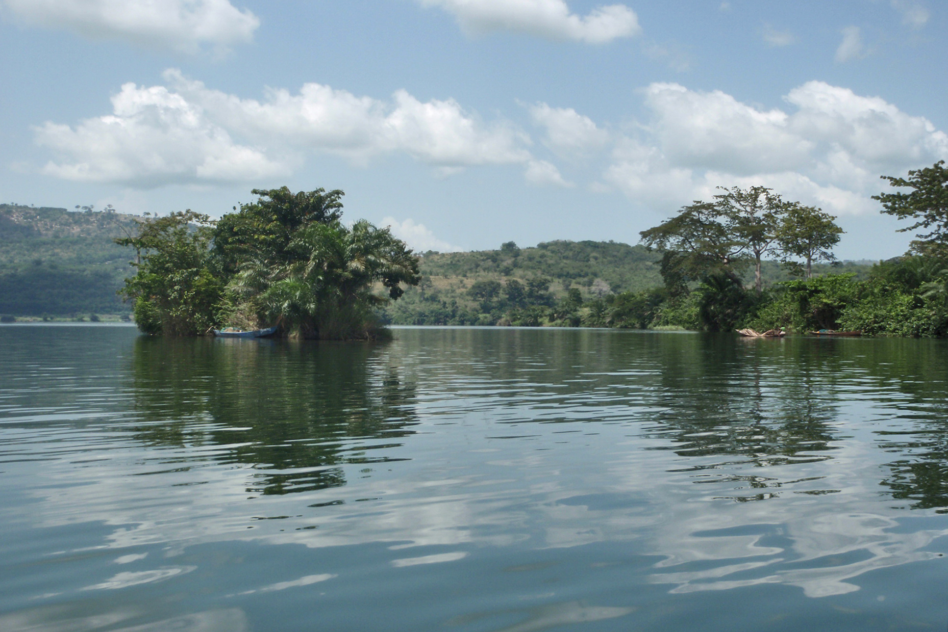
The main islands within the lake are Dodi, Dwarf and Kporve. Digya National Park lies on part of the lake’s west shore. The lake is formed by the Akosombo Dam, which was originally conceived by the geologist Albert Ernest Kitson in 1915, but whose construction only began in 1961 with completion in 1965.
Because of the formation of Lake Volta, about 78,000 people were relocated to new towns and villages, along with 200,000 animals belonging to them. About 120 buildings were destroyed, not including small residences, as over 3,000 square miles (7,800 km2) of territory was flooded.